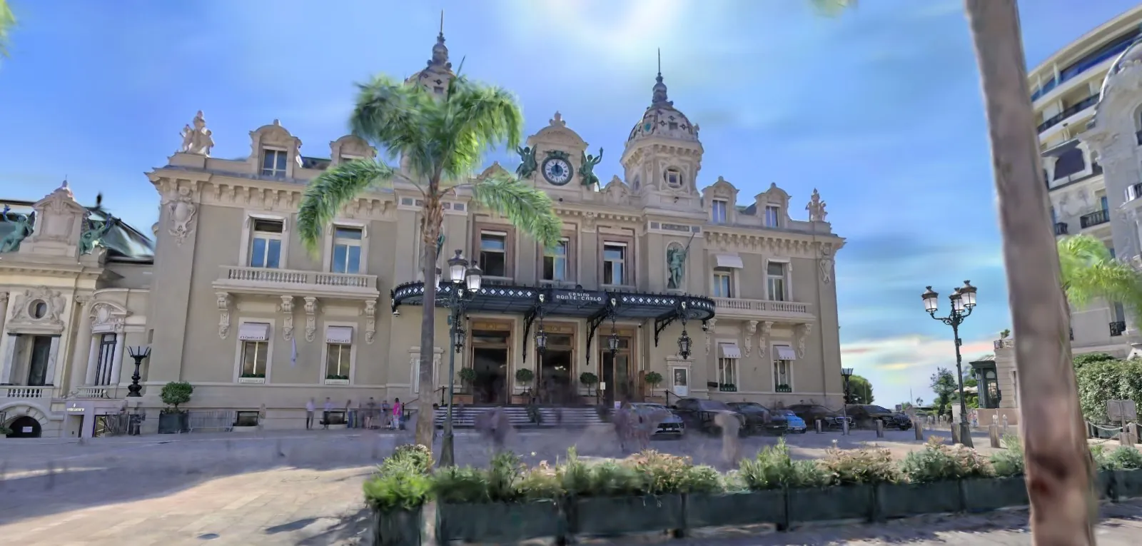
Real places, published as live 3D anyone can walk or fly through.
Visgrid scans streets, interiors, plazas and gardens, turns them into Gaussian splats, and publishes them as web viewers that open on a phone. No app, no plugin, no download. For design and planning work, we also deliver high-resolution reality mesh models.
Each capture runs in its own live viewer. Drag to orbit, scroll or pinch to zoom, and use the guided tours and clickable layers built for that place. Viewers open in a new tab.
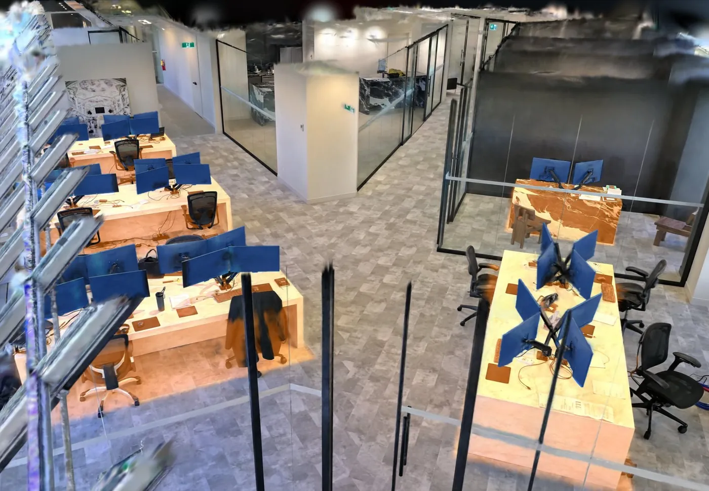
Interior · workplace
Office Space
Calgary, Alberta
Captured 18 October 2026
Read more
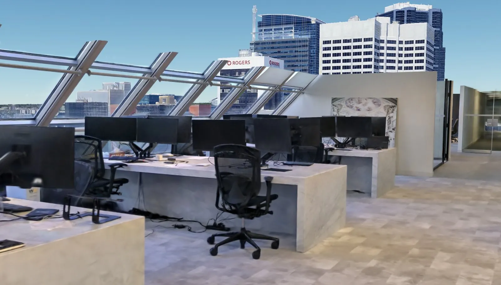
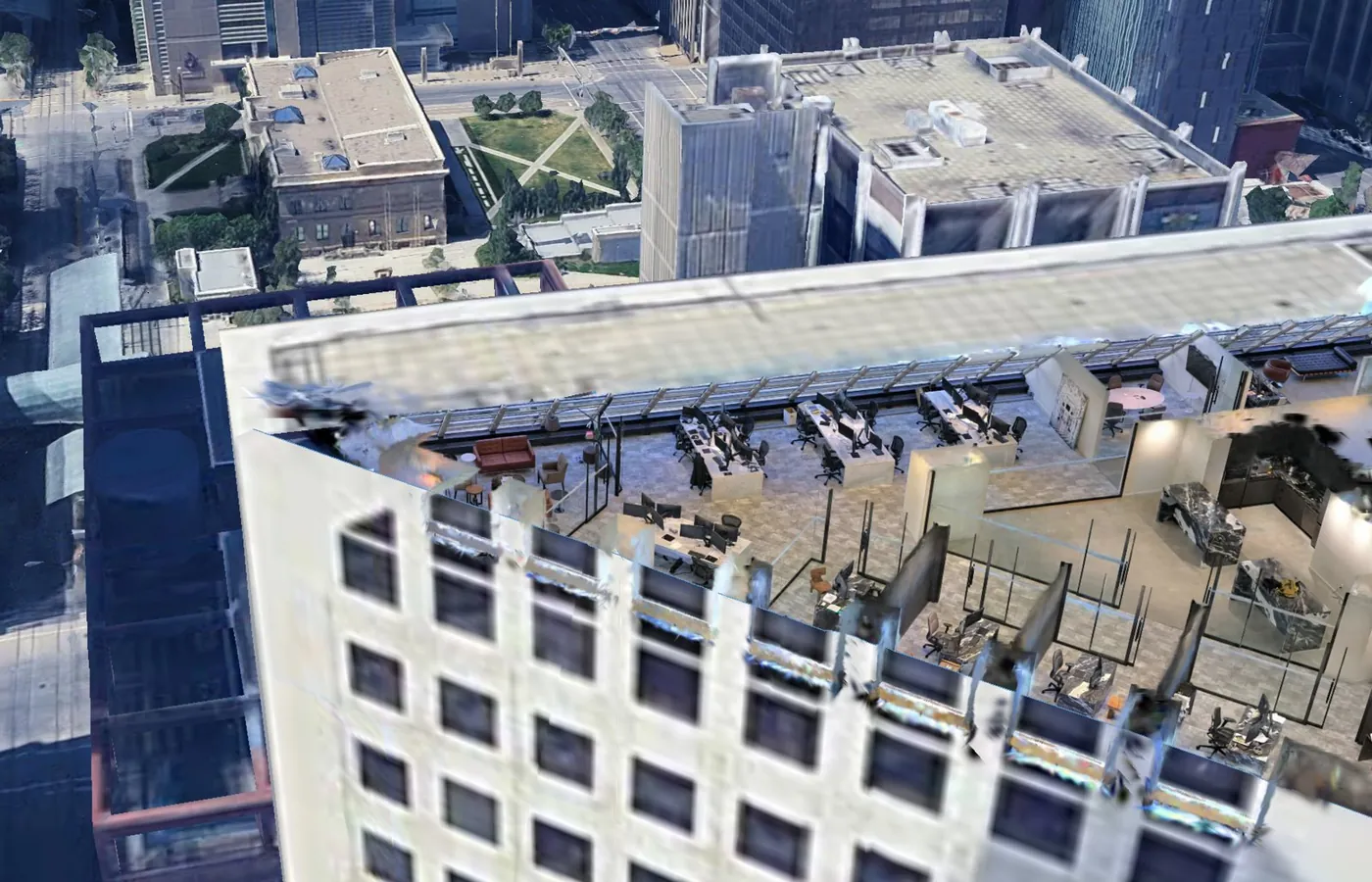
A full office floor, captured walking. Every desk and monitor is mapped, so a facilities team can see the layout without visiting.
11 desks and 42 monitors highlighted and clickable
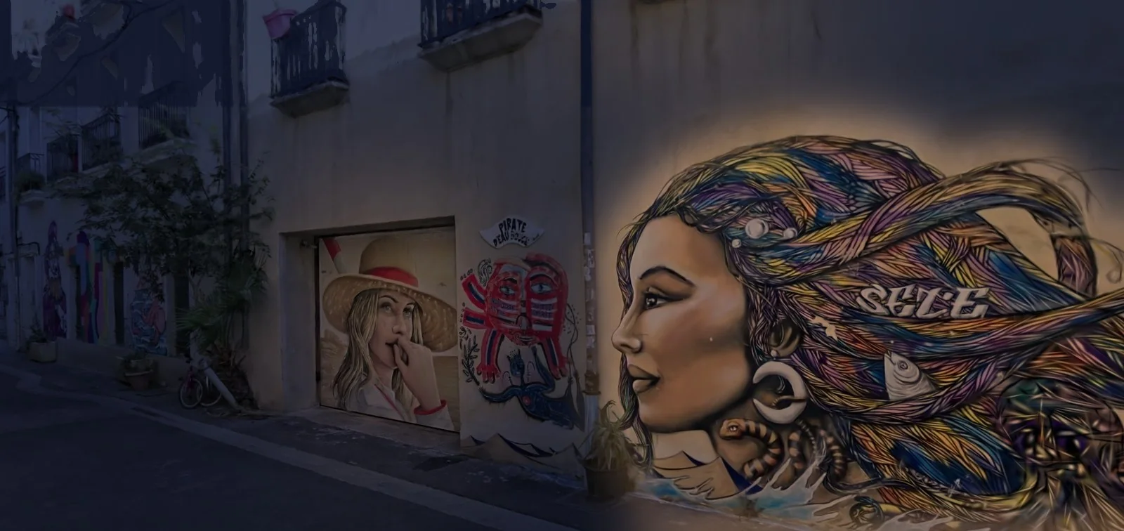
A street of murals and tags, from the canal quay up to Rue Honoré Euzet. The viewer streams the scan in tiles and walks you along the route the scanner took. Turn on the music and explore it to "Swing de la Rue de Tunis", an original hot-jazz tune in the style of a 1930s Paris club.
82 street-art pieces you can click for a close-up and description
Guided walk up the street and back, with collision against walls
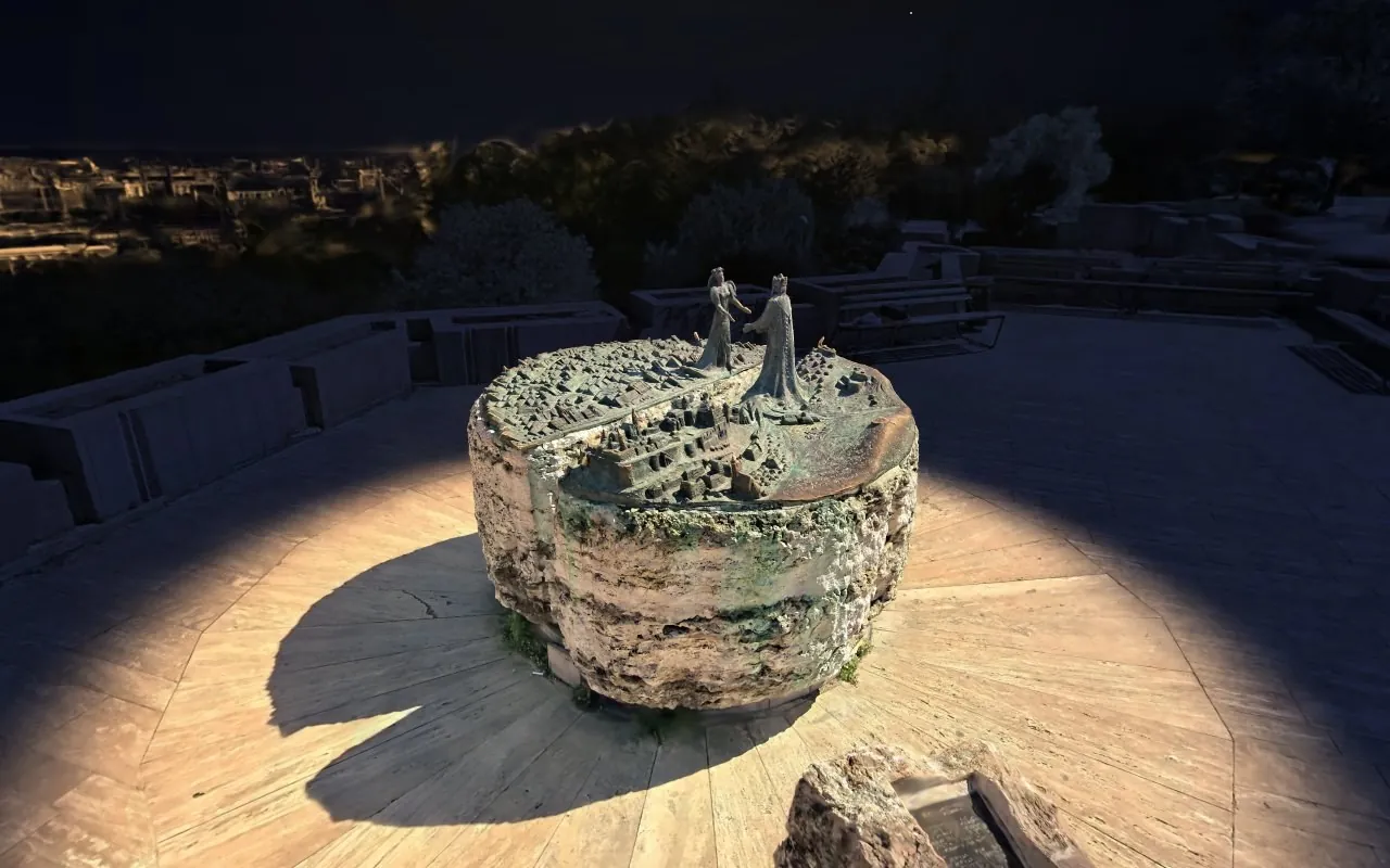
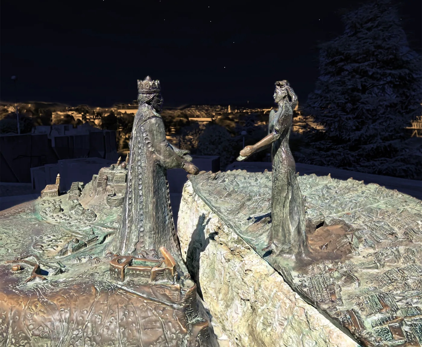
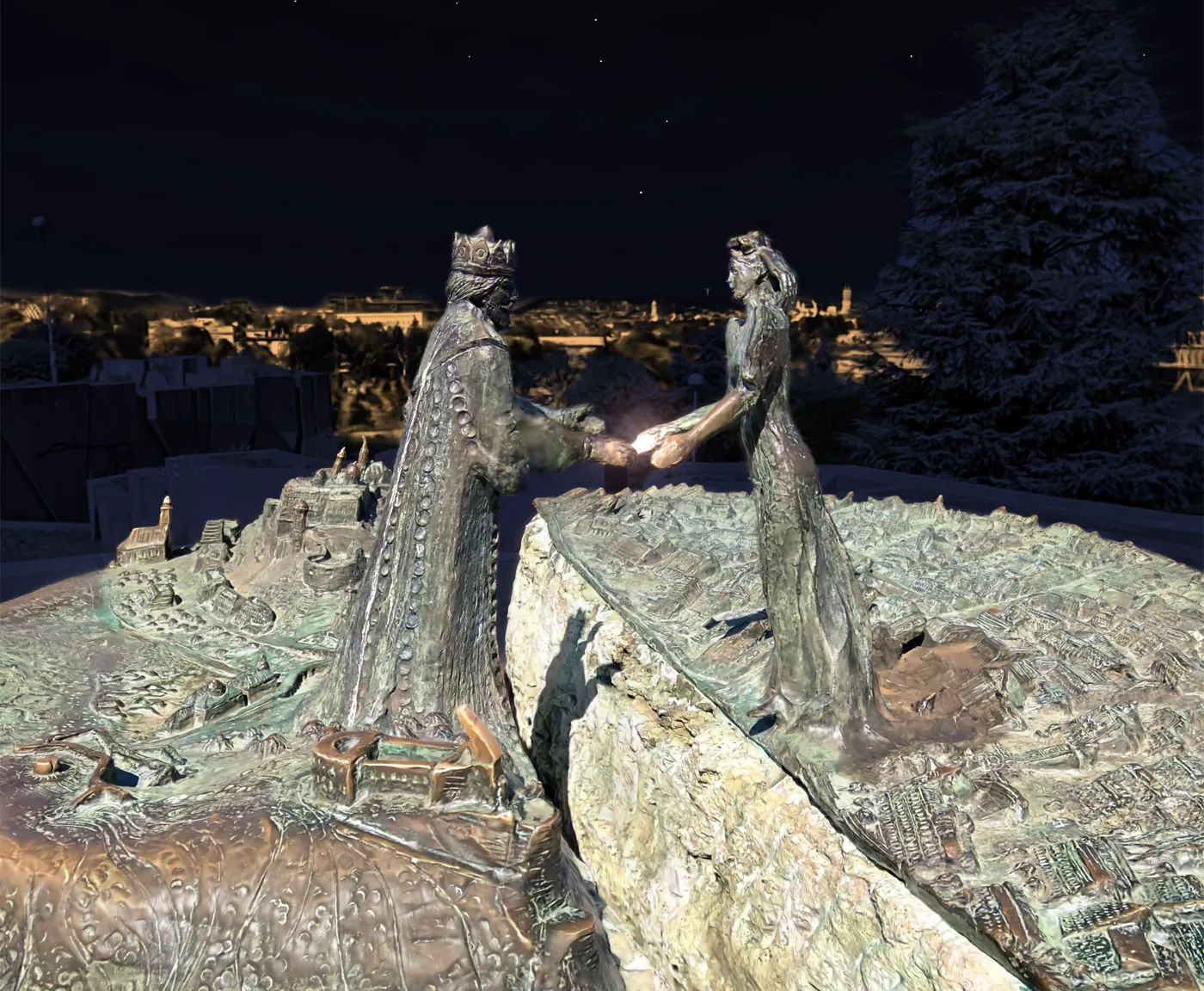
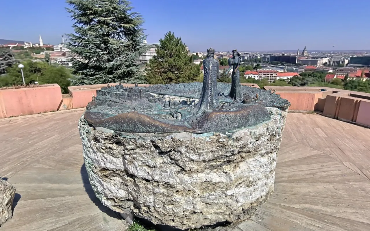
The Lookout Rock statue: Prince Buda and Princess Pest reach for each other across a split stone, its two halves topped with the twin cities in bronze and the gap between them standing for the Danube. Scanned on foot in about three minutes.
Orbit the statue to an original Hungarian tune, with the city spread out below
Info box on the monument, its sculptors and the legend of the two lovers
After Dark: moonlight, stars and the lights of Budapest, with a lamp on the statue
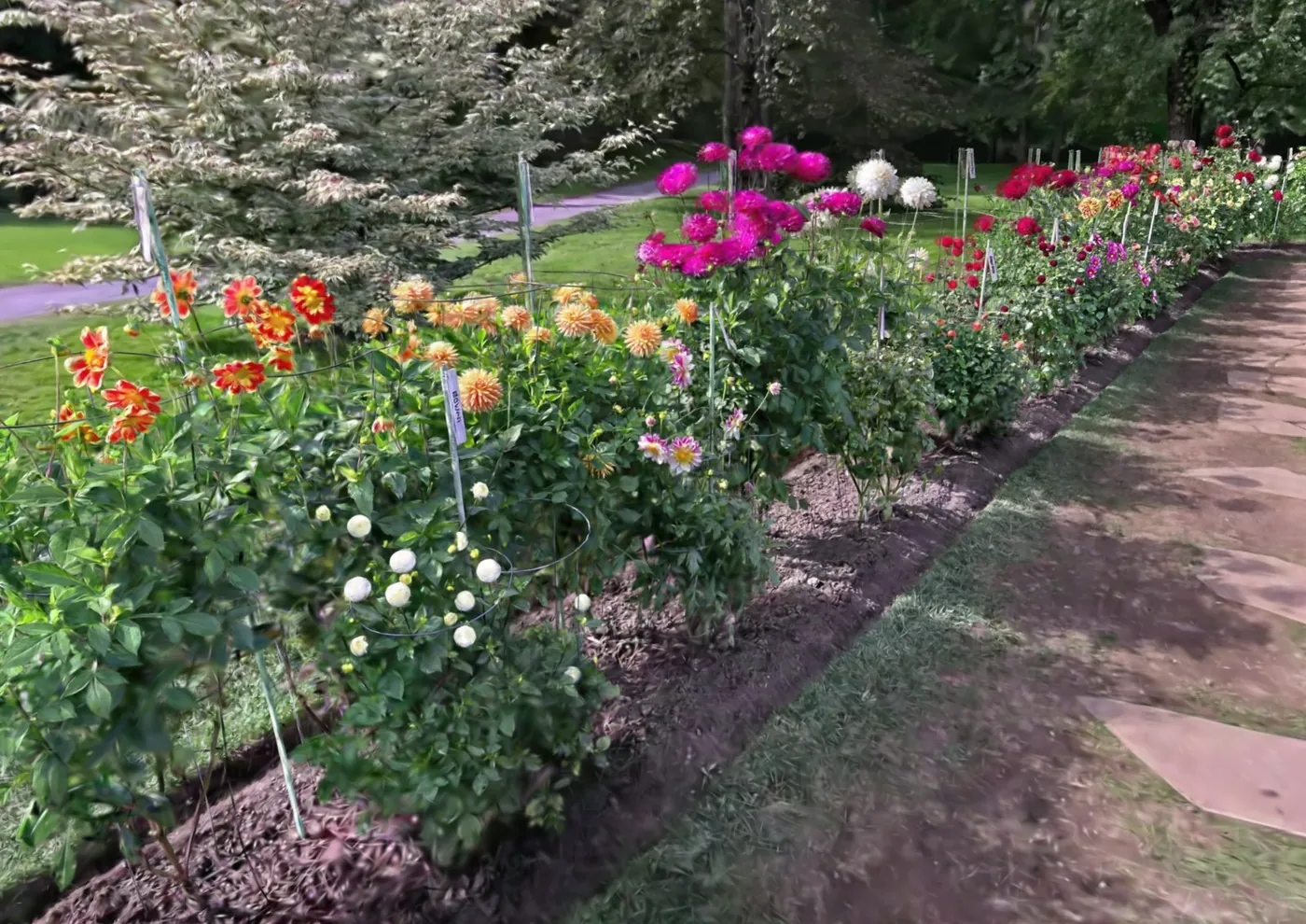
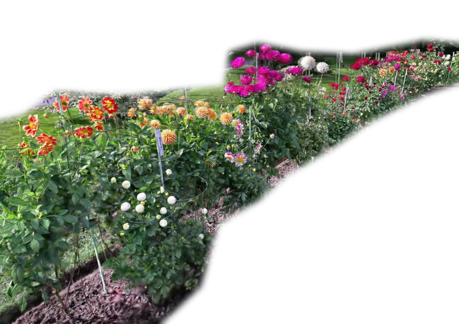
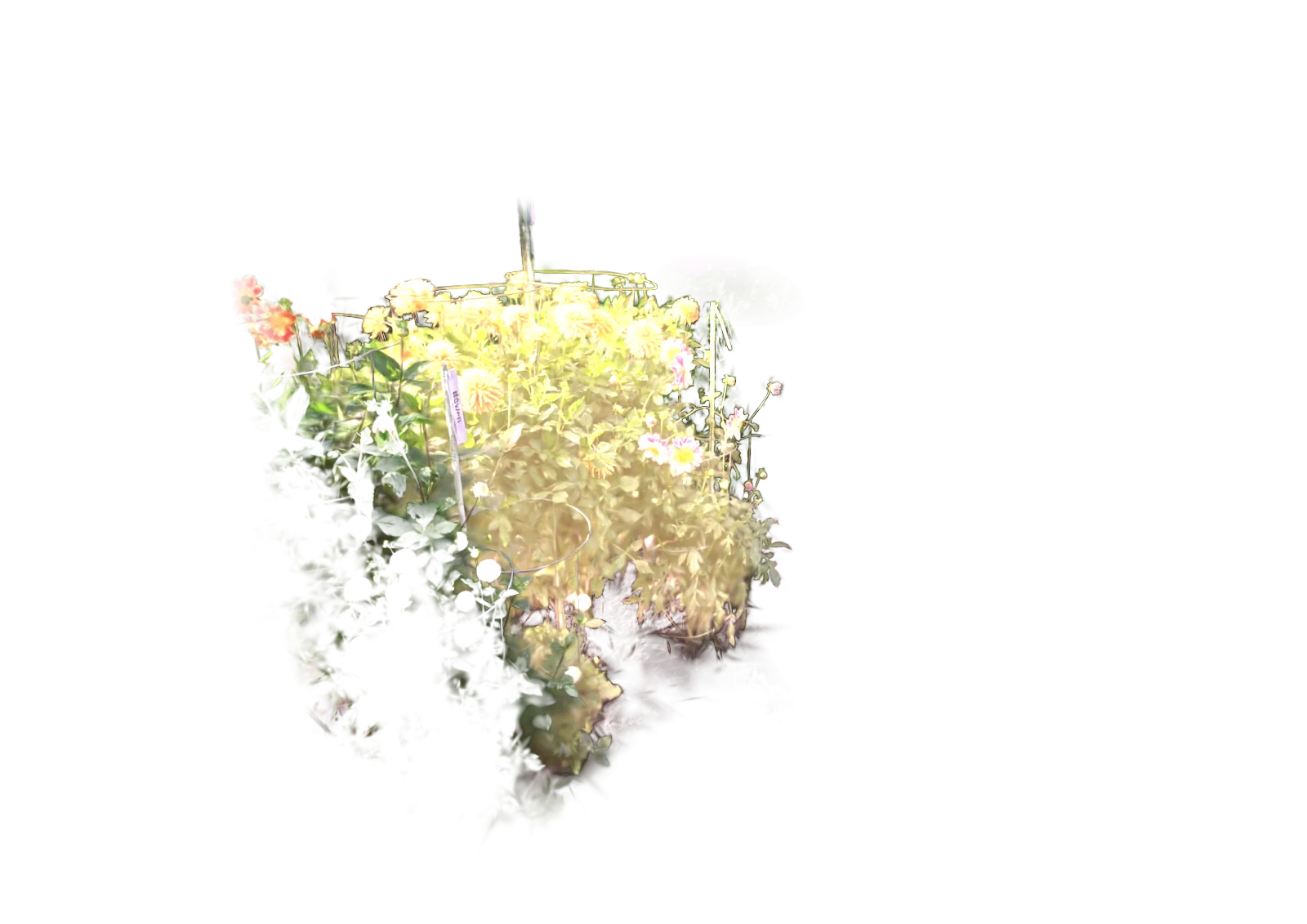
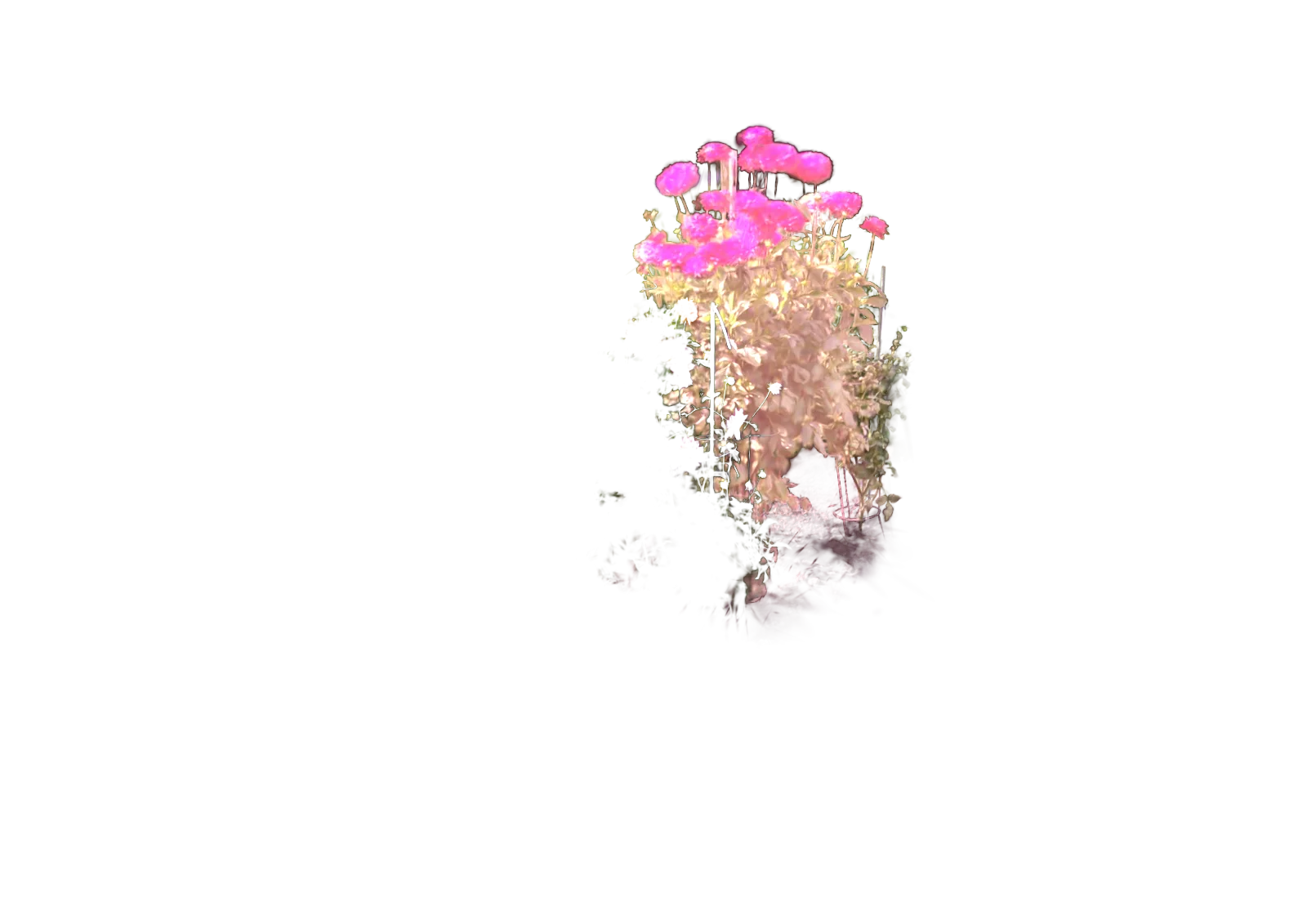
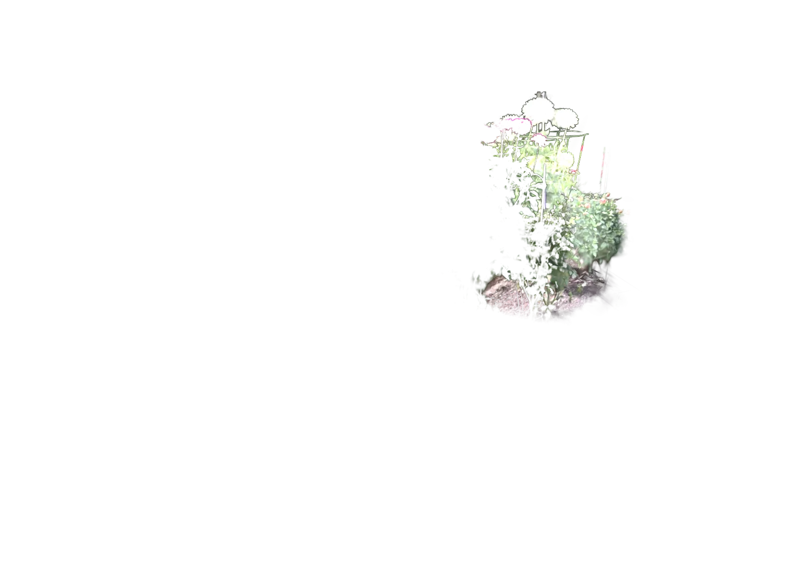
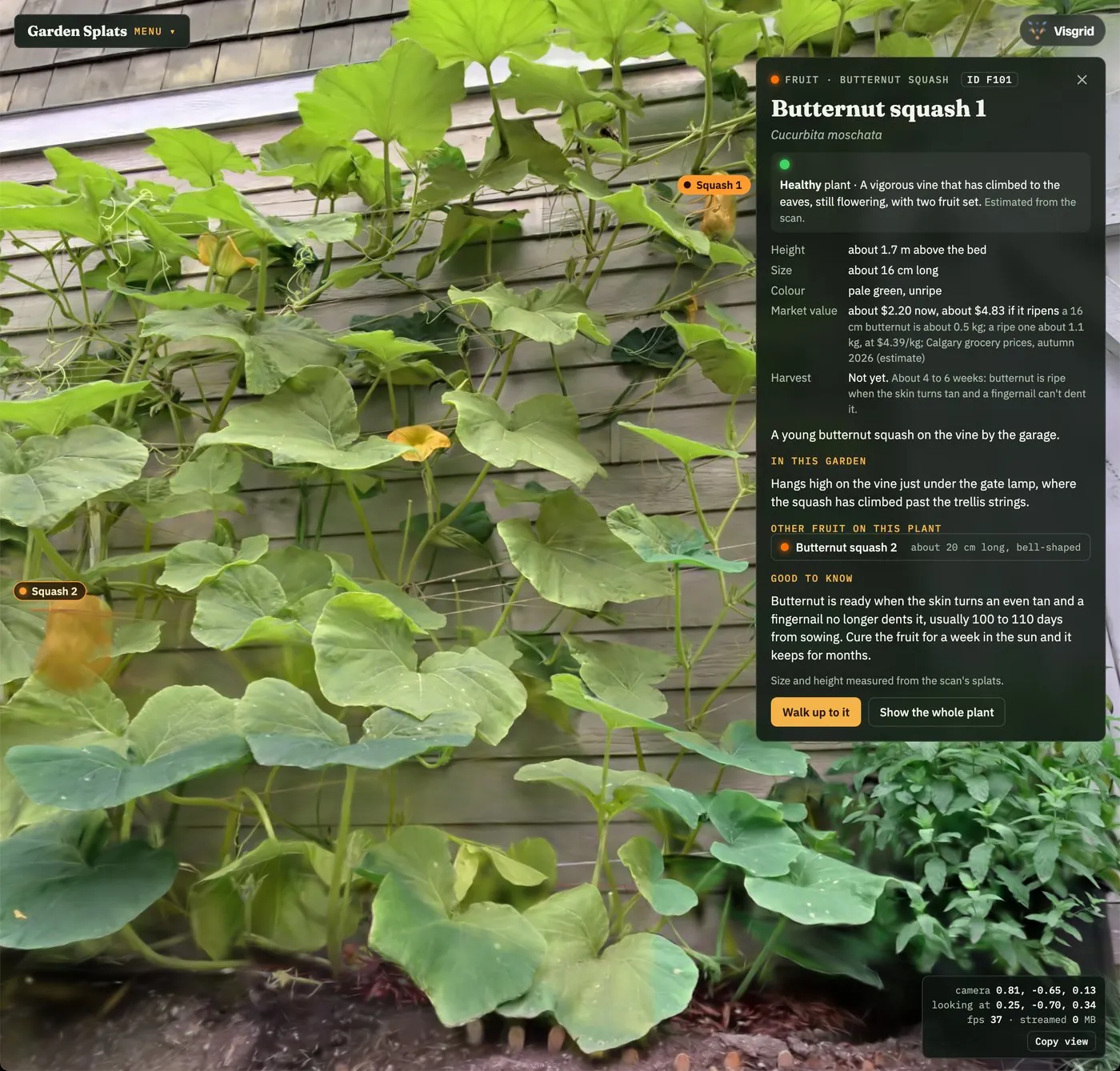
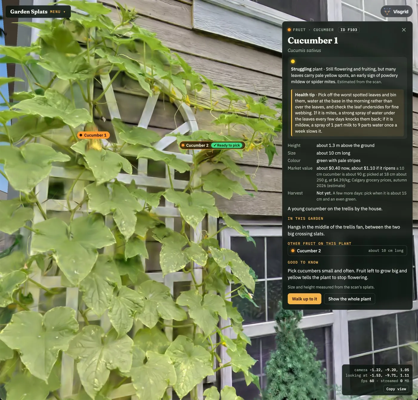
One backyard garden, scanned again and again through the summer, so you can watch it grow and see exactly what each plant needs to thrive. Keep memories of your plants alive forever.
Watch the season unfold: four scans from early July to late August, with each visit's new growth lit up
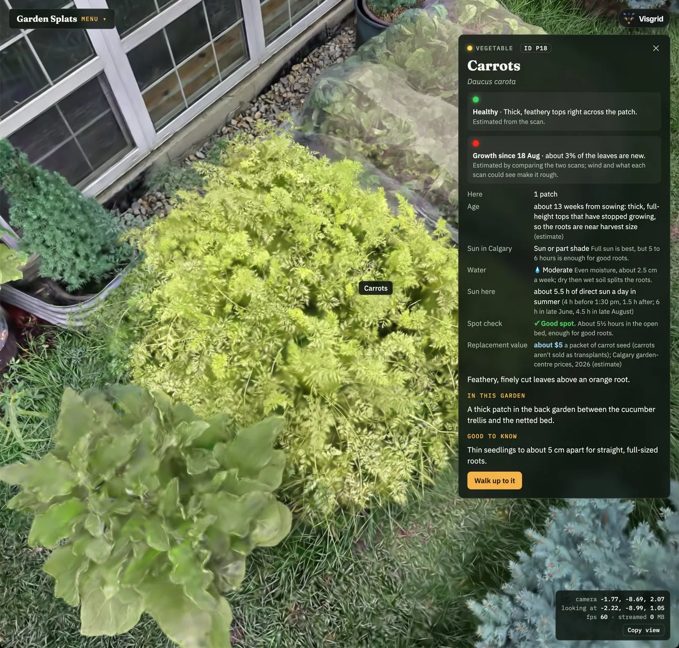
Every plant identified: 27 kinds of vegetables, herbs, foliage plants, trees and shrubs, each with its own details
An estimated health level for each plant, read from leaf colour, spotting and how full it has grown
Suggested fixes and optimizations, from watering and feeding to support and harvest timing, to keep the garden thriving
Now with breeze fluttering mode: a light wind sets the leaves and needles moving
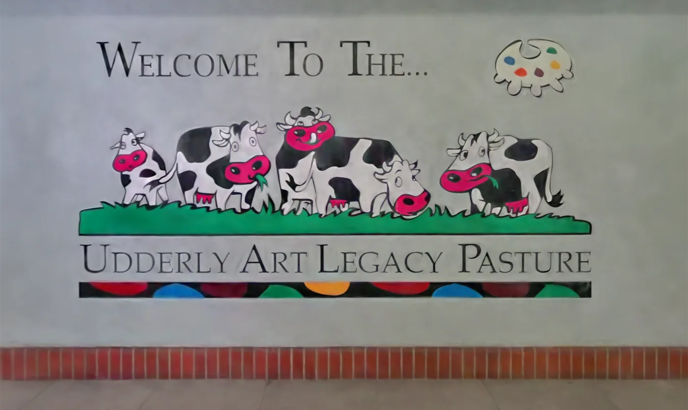
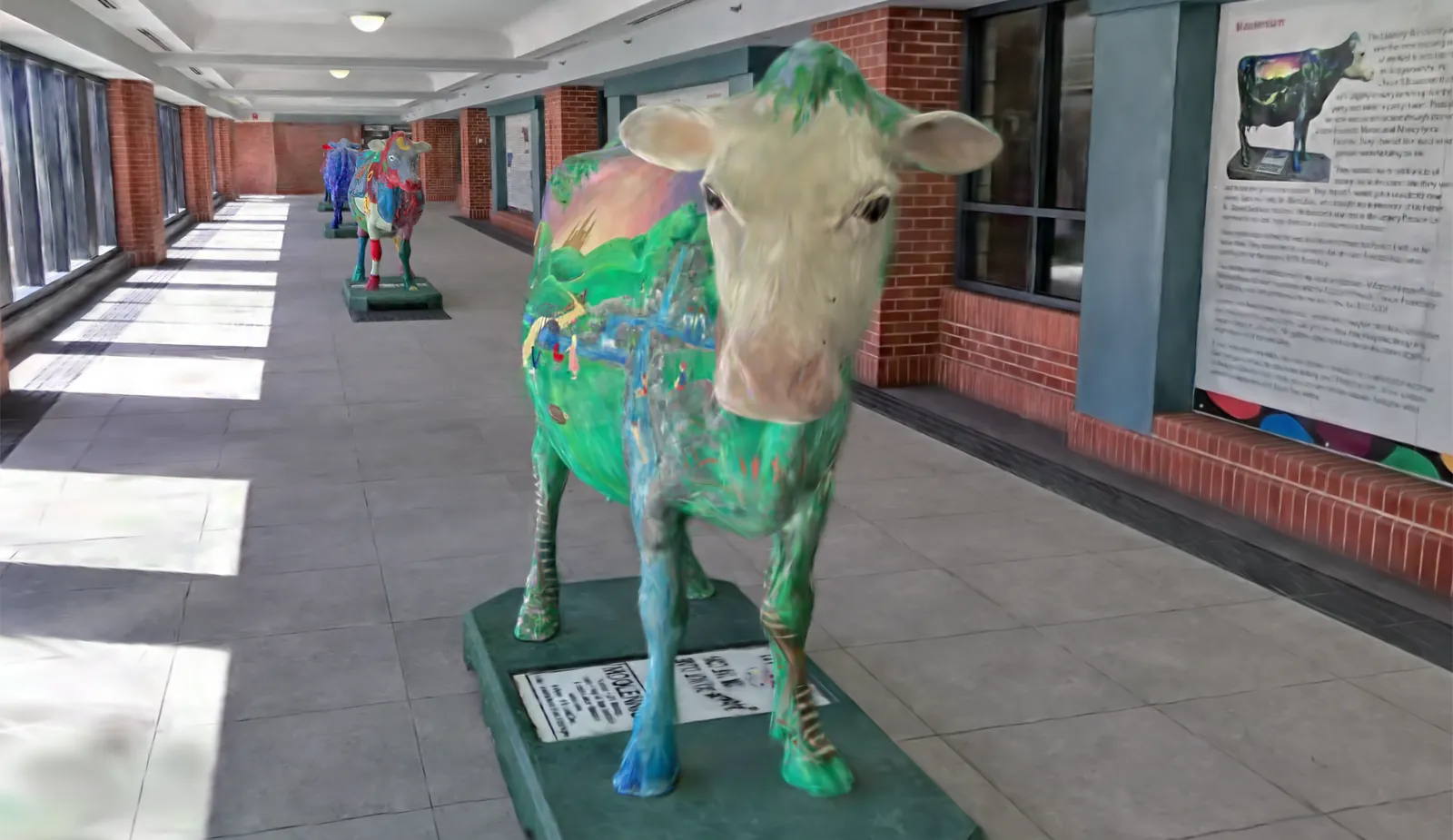
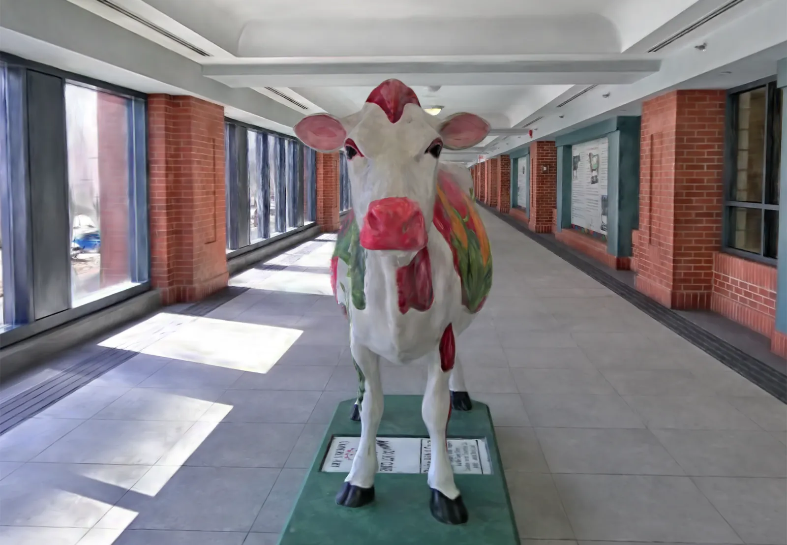
A 150 m stretch of Calgary's +15 skywalk where a herd of painted fibreglass cows from the city's 2000 Udderly Art project still grazes. Walk the corridor in the sun from the windows and meet every cow up close.
Click any of the 12 cows to outline it and read its name, artist and story from its plaque
Tour the cows: a smooth, cinematic glide down the hallway to each one, with an original soundtrack
A handheld scanner that pairs LiDAR with cameras. We walk the space once and it records shape and colour together, so rooms, corridors and glass partitions come out true to scale.
Micro drones for aerial
Small, light drones fly low over roofs, parking lots and campuses to capture what you can't see from the ground.
Gaussian splats · Method
From a site visit to a link you can send.
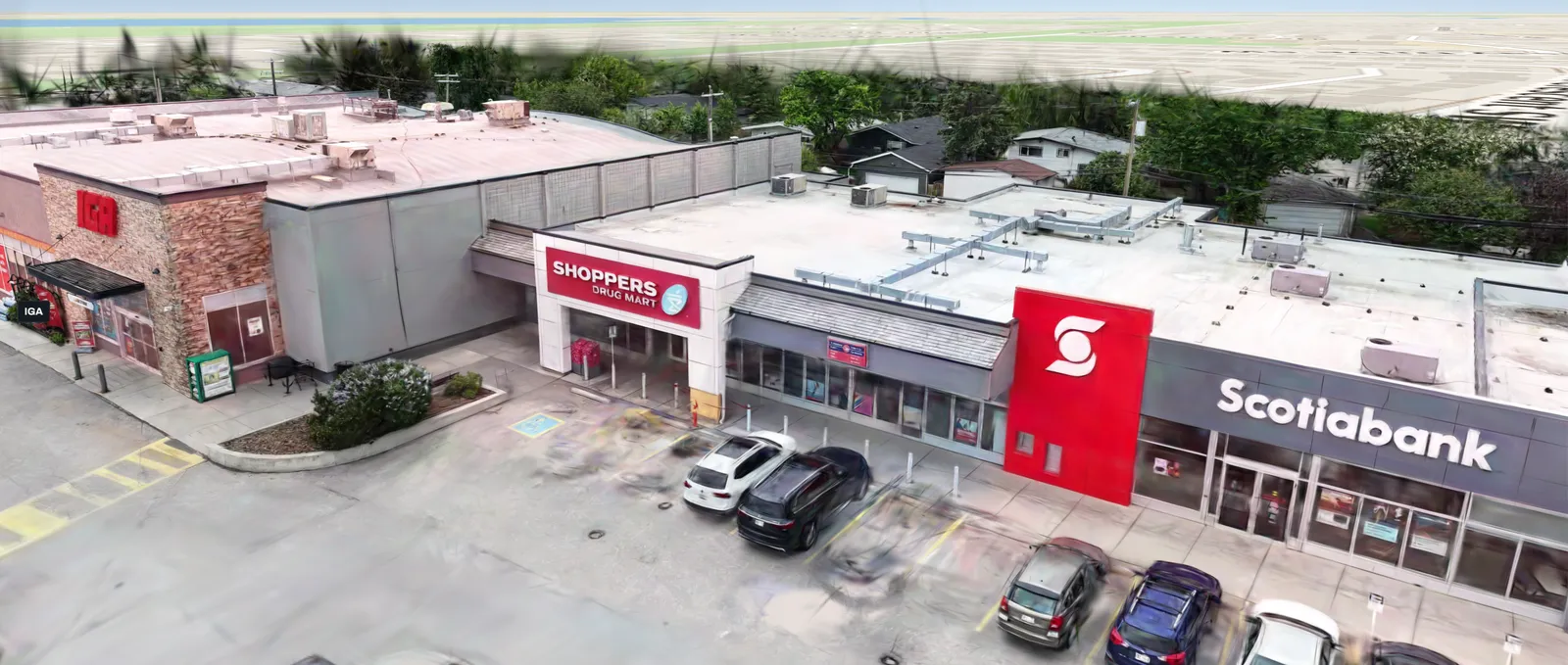
Every viewer on this page went through the same three steps, whether the site was a street, an office floor, a strip mall or a flower bed.
01 · Capture
Scan on site
Handheld LiDAR-and-camera scanners for streets and interiors, drones for rooftops and lots. We walk the space once at a steady pace.
Captured so far: street, interior, aerial, garden
02 · Process
Train, clean, place
We train the splats, trim floaters, level the ground, and fit the scan to map footprints so it presents exactly how you want it.
Fully customizable to any environment
03 · Publish
Build the viewer
A web viewer with detail levels for phones and desktops, guided tours, and clickable layers for the things that matter to you.
Detail levels: 4.4 M to 27 M splats
Please note: the 3DGS (Gaussian splat) output we supply is not survey grade and is for visualization purposes only.
Reality mesh models
Measurable 3D you can design on.
A reality mesh is a continuous textured surface built from thousands of overlapping photos and LiDAR. Unlike a splat, every wall, roof and curb is solid geometry, so you can measure it, cut sections through it and drop it straight into the software your team already uses.
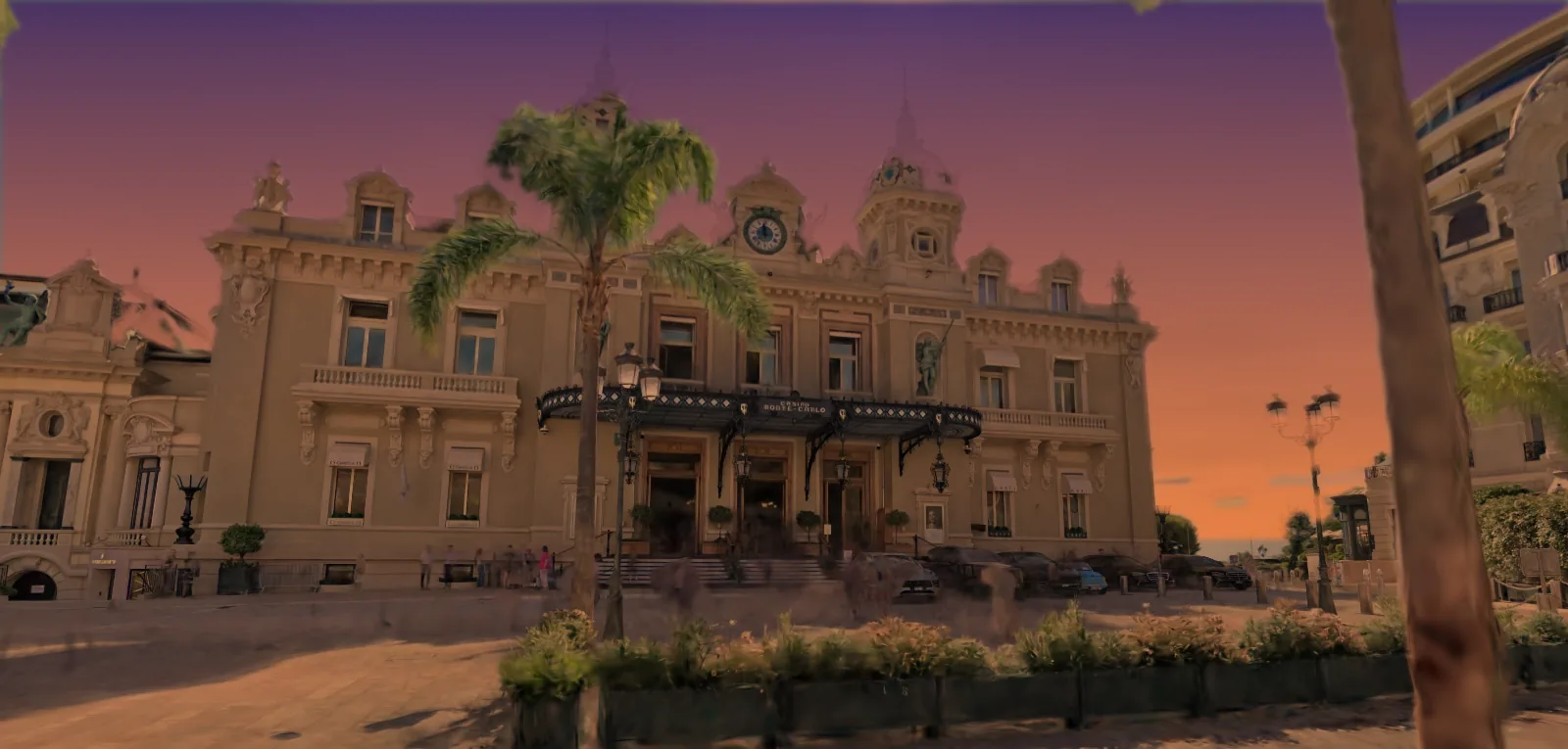
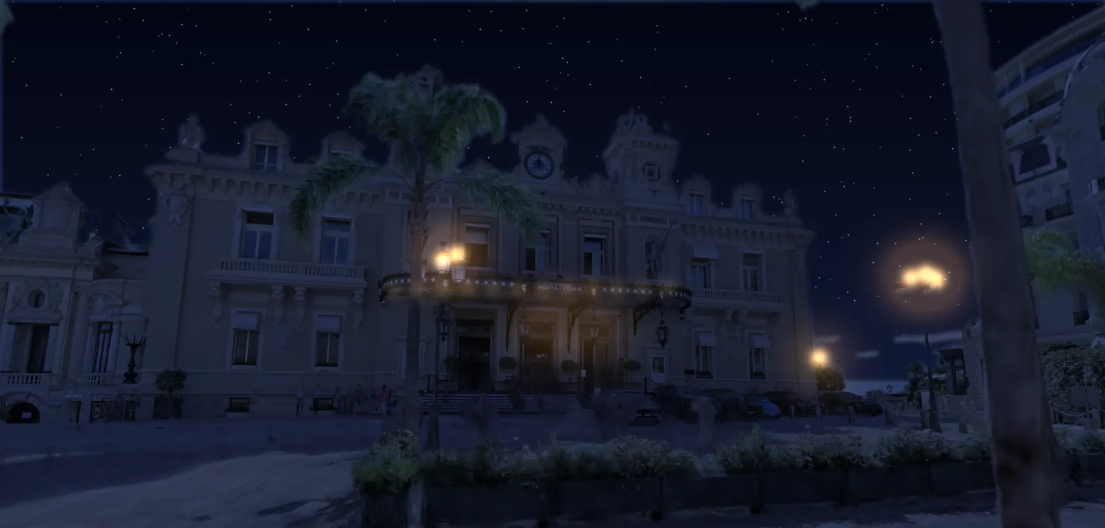
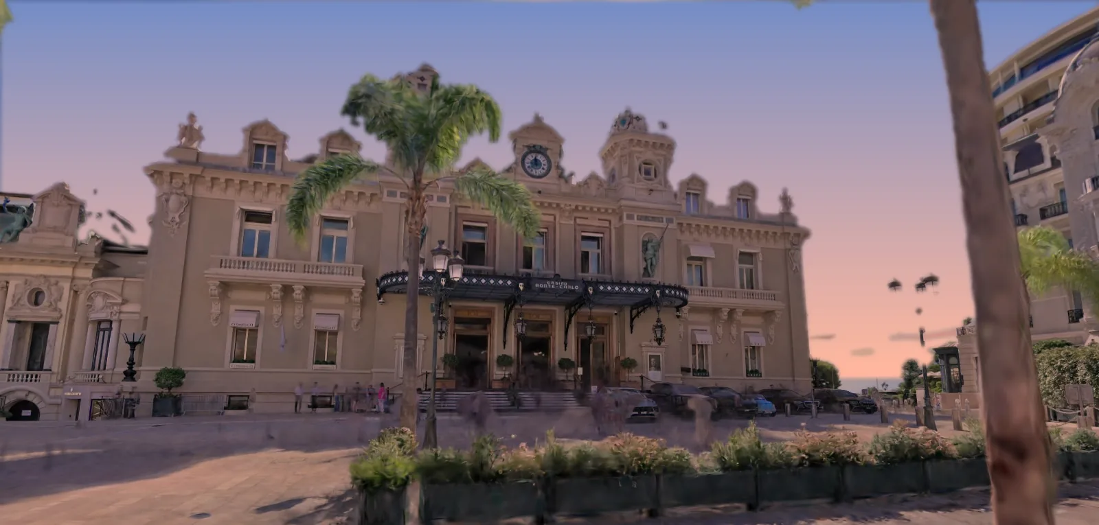
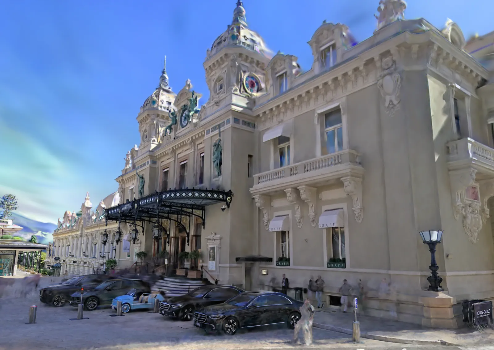
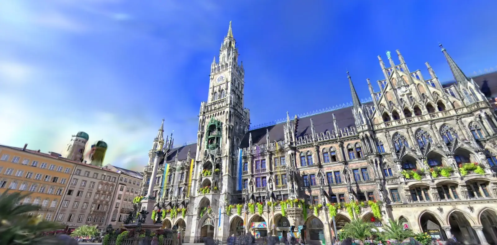
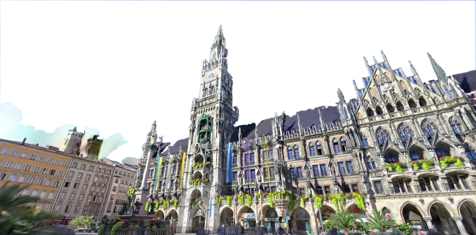
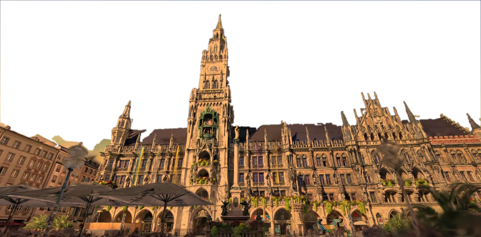
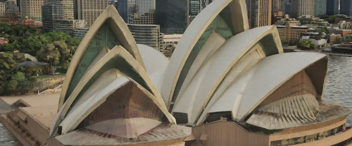
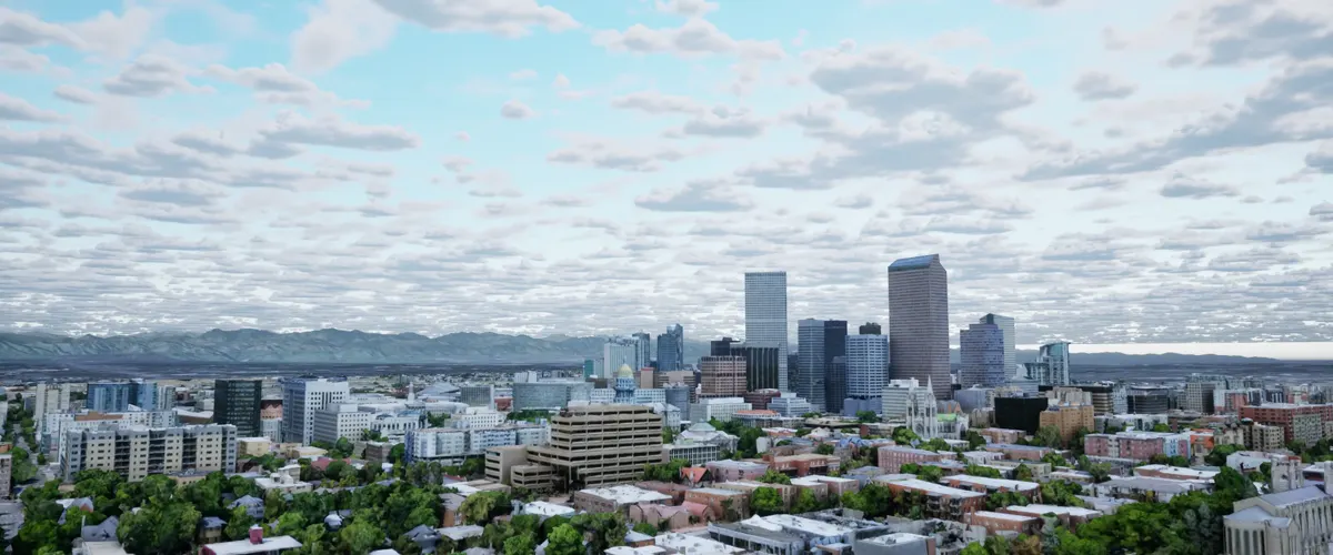
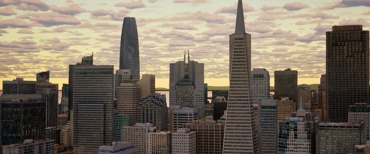
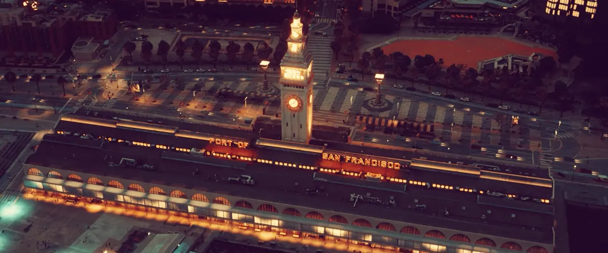
High-resolution city meshes, from Sydney to San Francisco. The same textured geometry scales from one landmark to a whole downtown, in daylight, golden hour or lit for night. Watch the full video on YouTube ↗
Landmarks up closeWhole skylinesGolden-hour viewsLit for night
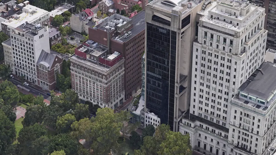
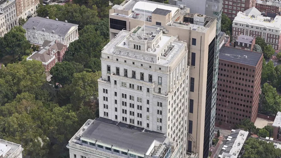
Aerial reality mesh · fly-over
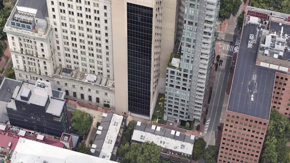
Fly-over of a high-resolution aerial reality mesh around Independence Hall, Philadelphia: every facade, roof and tree is textured geometry you can measure and export.
Rooftops and facadesBuilding contextStreets and sight lines
DetailReality models down to 2 cm using aerial capture. 2-5 cm available for entire metro regions.
AccuracyGeo-referenced to your coordinate system; surveyed ground control on request
FormatsOBJ, FBX, glTF / GLB, Cesium 3D Tiles, Esri SLPK, plus LAS / LAZ point clouds
ScaleA single storefront or facade up to a full campus or city block, delivered in tiles with levels of detail
Planning and approvals
Show a proposed building in its real street. Check sight lines, massing and shadows before anything is drawn in detail.
Architecture and engineering
Start from an as-built context model of the site, with existing facades, levels and services in place.
Real estate and development
Pre-sales fly-throughs, view studies from future floors and sales-suite screens built on the real neighbourhood.
Game engines and VR
Tiled meshes load into Unreal Engine, Unity and Twinmotion for walk-throughs, simulation and immersive training.
GIS and digital twins
Bring the model into ArcGIS or Cesium beside your parcel, utility and building data.
Asset and heritage records
A dated, measurable record of a building or site's condition, ready to compare with the next capture.
Live 3D walkthroughReality mesh model
LooksPhotoreal, with reflections and fine detail like foliageSolid textured surfaces
MeasureVisualization onlyDistances, areas, heights and sections
Use it inA web link anyone can openCAD, BIM, GIS, game engines, 3D printing
Delivered asA hosted viewerFiles in the formats you choose