Data Visualization Software for Infrastructure & Real Estate
Home | Applications | Technology | Contact
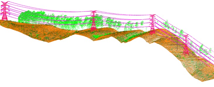 Visgrid's geospatial technology platform enables high resolution visualization of infrastructure and buildings.
We deploy applications using CesiumJS, the open source virtual globe software for the web.
Platform Partners
Visgrid's geospatial technology platform enables high resolution visualization of infrastructure and buildings.
We deploy applications using CesiumJS, the open source virtual globe software for the web.
Platform Partners
IMAGERY & APPLICATION
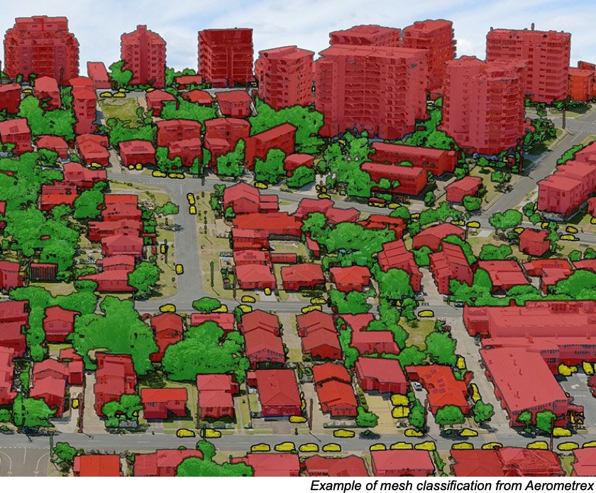
- Aerometrex - High Resolution Photogrammetry
- CesiumJS - Virtual Globe Software
- Google - Open Source Datasets
© 2026 Visgrid Inc. All rights reserved.